"I'm moving slowly by vehicular standards, but quickly enough to entertain the illusion that it is the mountains that are moving. Mountains sink into the horizon, and mountains duck behind other mountains. What looked like a lone pyramid is actually a spine of rock twenty miles long, humped up in the center like a hissing cat."
-- Jim Malusa, Into Thick Air
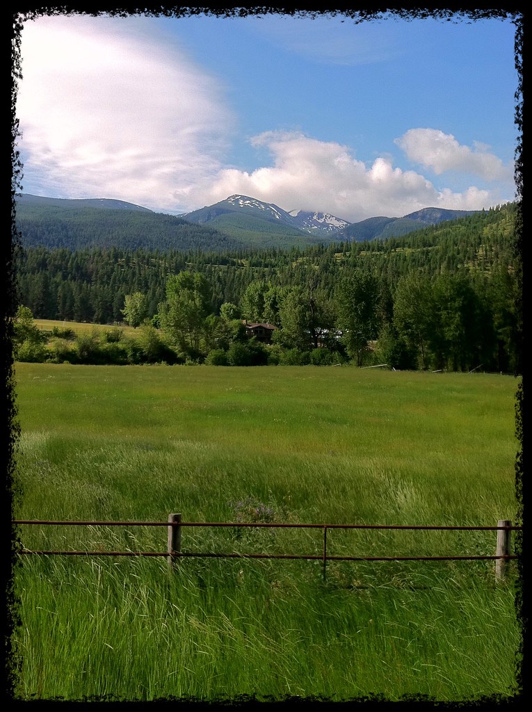
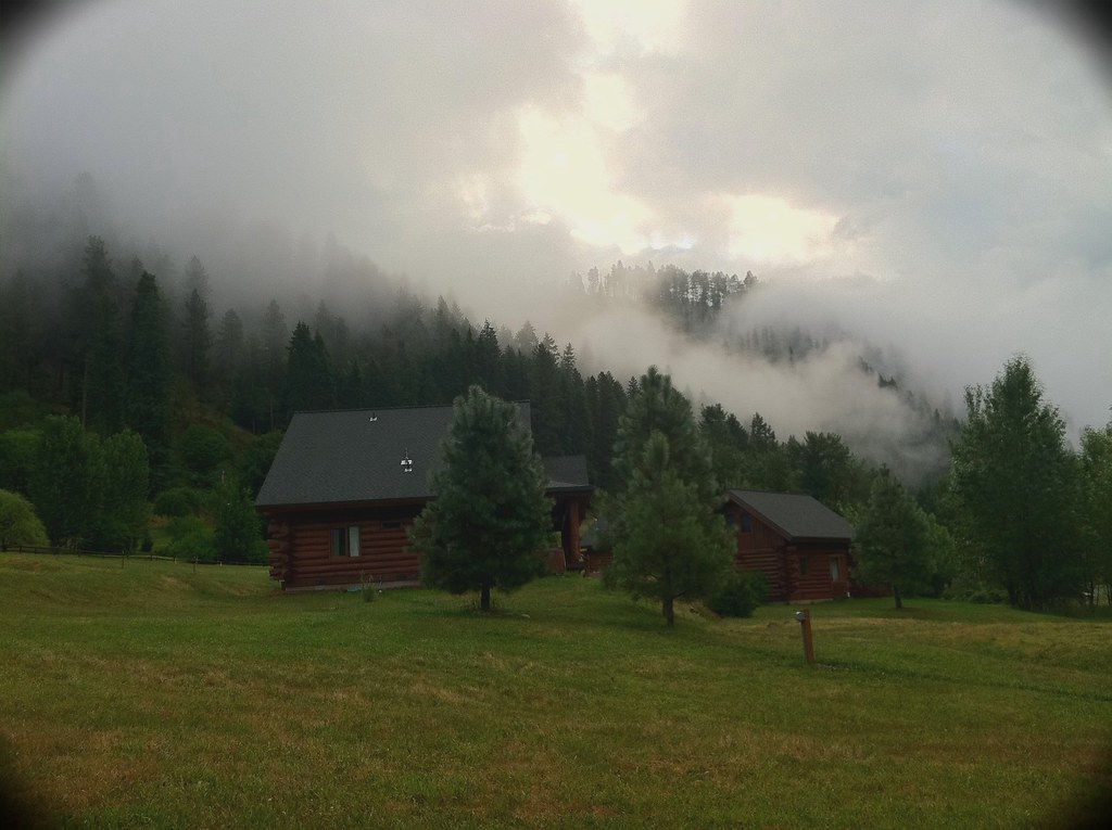
The fog hung low over the Swan River Valley last Sunday morning while the northern reaches of the Mission Mountains stood still behind the haze. I rose early after an overnight rain shower, packed up my damp tent and started down chilly Highway 83 while the RV-er's dozed in their compartments.
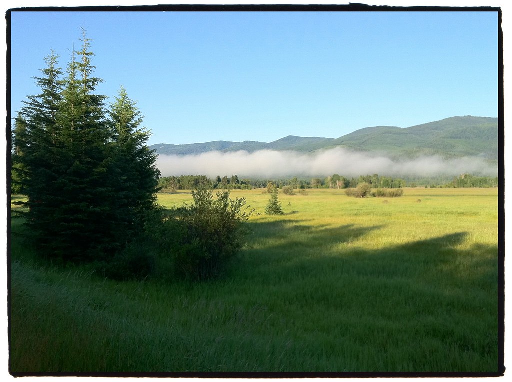
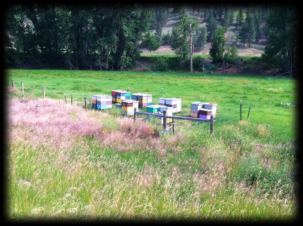
The Swan Range towered in my peripheral vision to the east. I startled some white-tailed deer grazing near the road's edge and awakened a trio of buzzards sleeping in a tall, dead tree. Most of the land in the valley is National Forest, State Forest and Wildlife Refuge. Occasionally there are sections of private land, mostly occupied by rustic log structures.
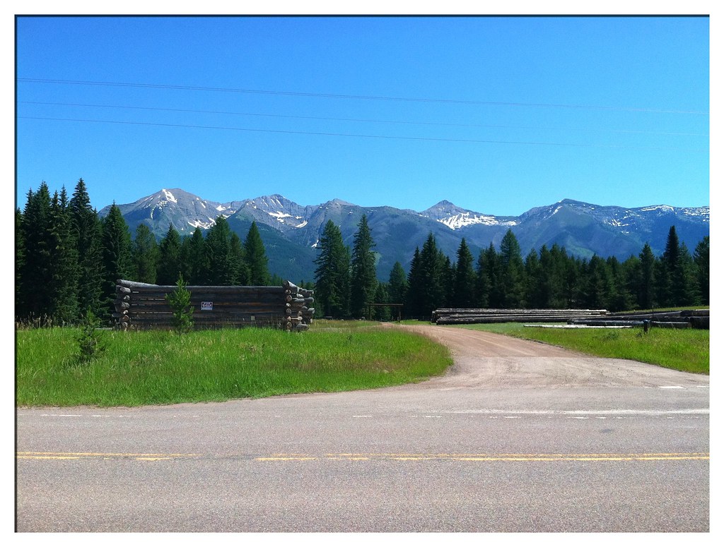
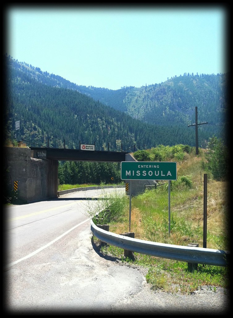
After a night in a Seeley Lake campground and a treacherous Monday morning commute through the ground-breaking of a construction zone, I found my way into the bicycle-friendly city of Missoula, Montana.
During my two night stay, I found time to visit the Adventure Cycling Association's Headquarters, obtain some necessary bicycle repairs and socialize with the other guests of the hostel. Ruth, a Detroit native, had been cycling for two weeks through Montana's beautiful mountains and was spending her trip's final nights in Missoula before flying home to San Francisco.
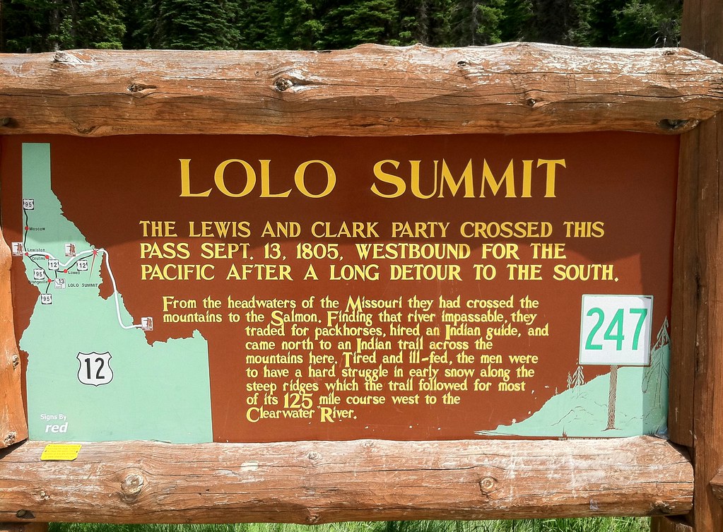
On Wednesday I departed civilization again and ventured into the Bitterroot Mountains by way of US-12, a route once taken by the famous explorers Lewis and Clark.
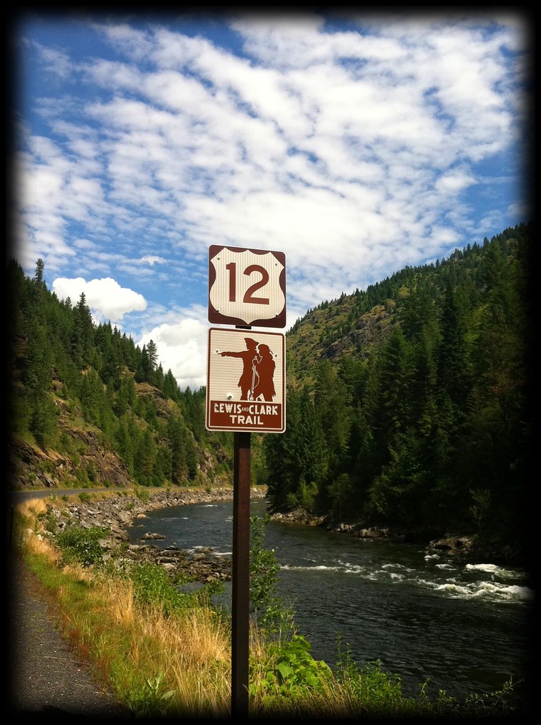
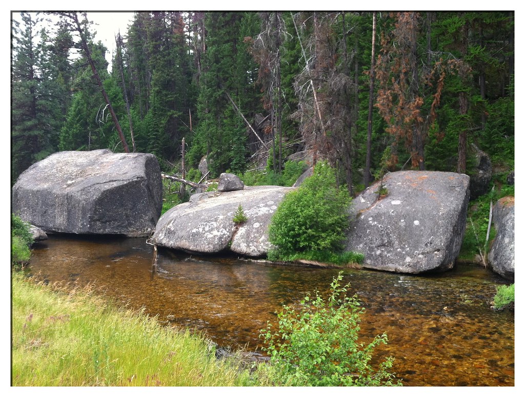
On the gradual climb up to Lolo Pass, the traffic was light enough to allow minutes to pass between vehicles. In those moments a cyclist can't help but feel very small and alone among the forested mountainsides and icy, rushing streams.
The feeling of isolation intensifies when one crosses into Idaho and reads the notes on the ACA map:
"If you were willing and able to walk a beeline straight south, you wouldn't come to a road for some 50 miles, that being the Magruder Corridor, a rugged dirt road. Continuing south from there, the first paved road you'd hit, Idaho 75 at a point east of Stanley, wouldn't be reached until you had walked another hundred miles-plus!"
Lolo Creek kept me company on the ascent toward the pass, ever flowing beside the winding road, springing from melting snows hidden high above my head.
I rode slowly up and around a bend that looked like dozens I'd already passed, yet at the end of this one were three points of interest: Lolo Pass at 5235 feet above the sea, the Idaho State Line and the entrance into the Pacific Time Zone.
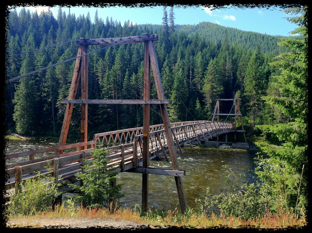
The next 100 miles descended a course which first followed the Lochsa River and then the Clearwater, after it absorbed the former. Pack bridges were the only structures to cross the water and the only signs of human construction besides the snaking highway.
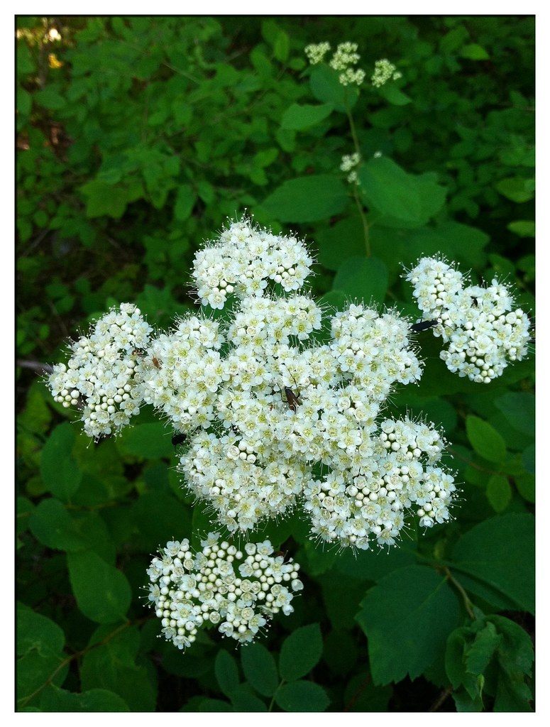
Of course there were scads of wildflowers decorating the forest floors and I had plenty of time at camp to stop, smell and photograph them.
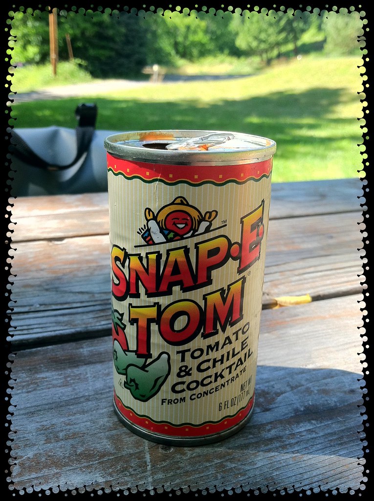
I also enjoyed one of the regional beverages: Snap-E Tom, a spicy tomato juice.
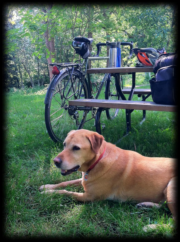
During my stay at the River Dance Lodge in Syringa, I was disappointed to find the employees didn't flail their legs under their stationary torsos as they went about their business. However, I was impressed by a friendly greeting from cyclist's-worst-enemy. "Peace Dog," as I dubbed him, because of his peace symbol tag and amicable nature, was the first mutt I met that neither snarled at me nor marked his territory on my panniers.
The next morning, after another drizzly night, I awoke to more smoke-like fog obscuring the tops of the trees.
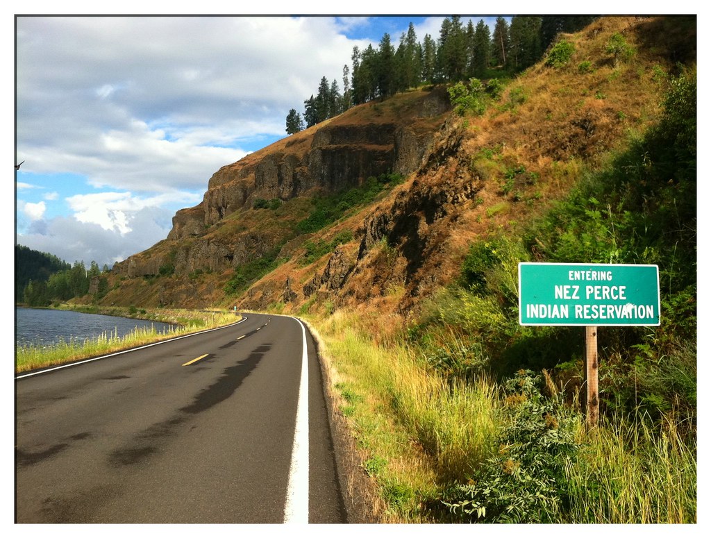
Friday turned out to be a difficult ride. I entered the Nez Perce Indian Reservation and rose about 3000 feet in elevation. Once I reached the top of the moderately steep climb, I was treated to a roller-coaster ride of ups and downs across a plateau of plains and crop fields until I reached Winchester Lake State Park. That night I was serenaded by the howling of a pack of wolves from the nearby sanctuary.
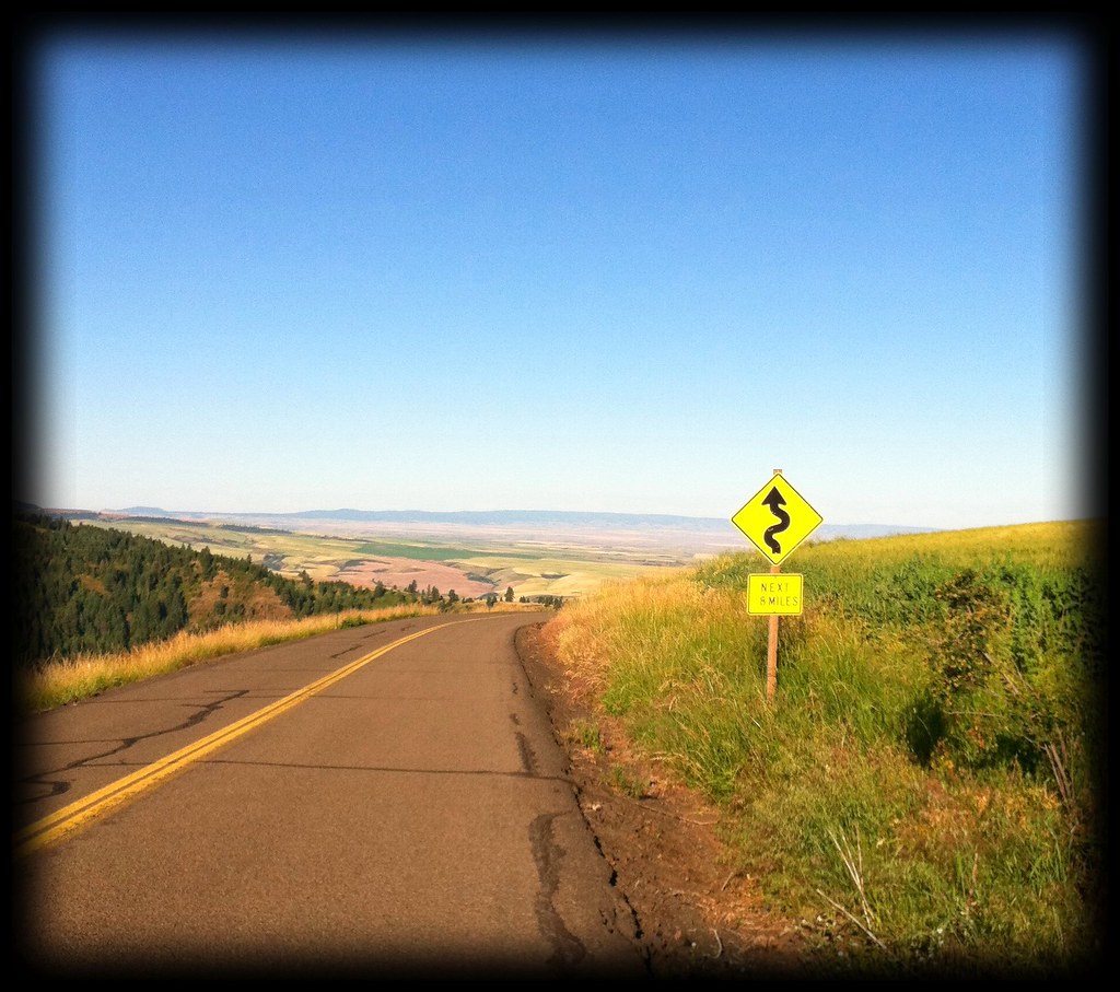
The reward for all of my climbing came yesterday morning when I soared down the treeless mountainside road toward Lewiston. The pavement draped along the contours of the hill like a ribbon creating, possibly, the best descent of my trip. Not one car marred my way, though I did have to brake twice for mule deer which promptly hopped out of sight.
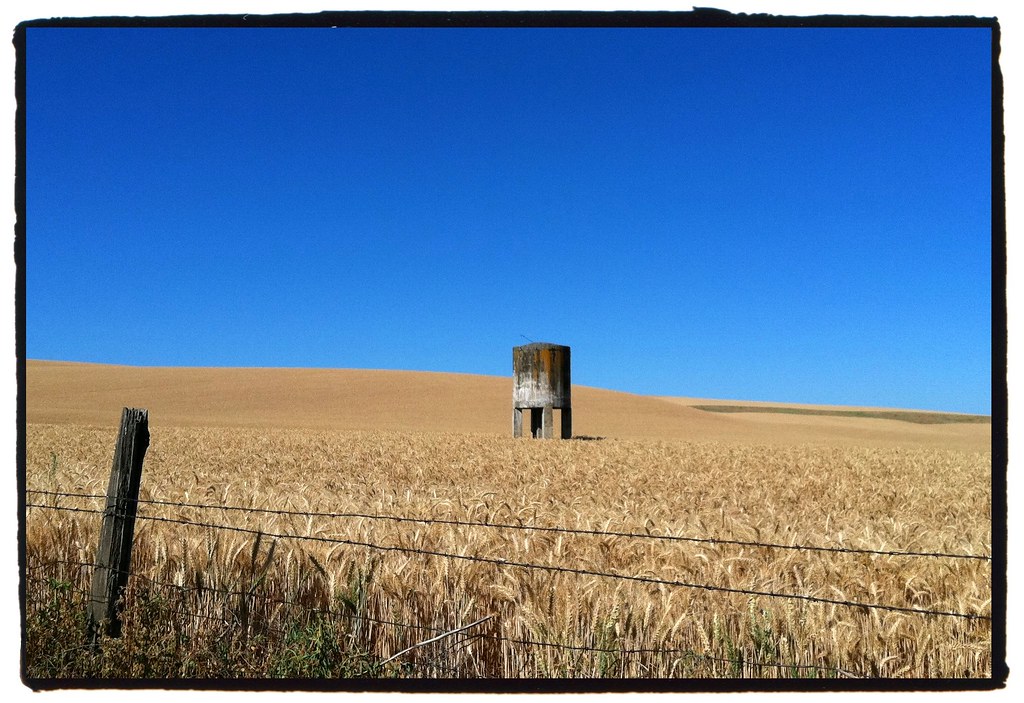
The steeper hills gave way to vast fields of wheat on the outskirts of Lewiston.
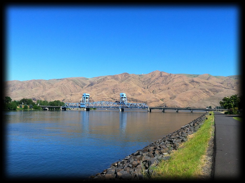
The final miles of my Idaho experience were on a nice, paved bike path along the shore of the Snake River. On the other side of the blue bridge: Clarkston, Washington.
Also on the opposite bank, as fate would have it, was a cyclist named Art, heading east toward Wisconsin. He informed me that the campground where I was planning to stay was full. So for the second time on this trip, I split a motel room with a stranger. A stranger with whom the common interest of bicycle touring has quickly brought me to know.

Today I push on into Washington toward the Columbia River and my final destination in Oregon. Next week's blog may very well be the conclusion...
- Posted using BlogPress from my iPhone
No comments:
Post a Comment