Sunday, July 31, 2011

Week #13: All Along the Columbia River

Total distance pedaled so far = 4244 mi


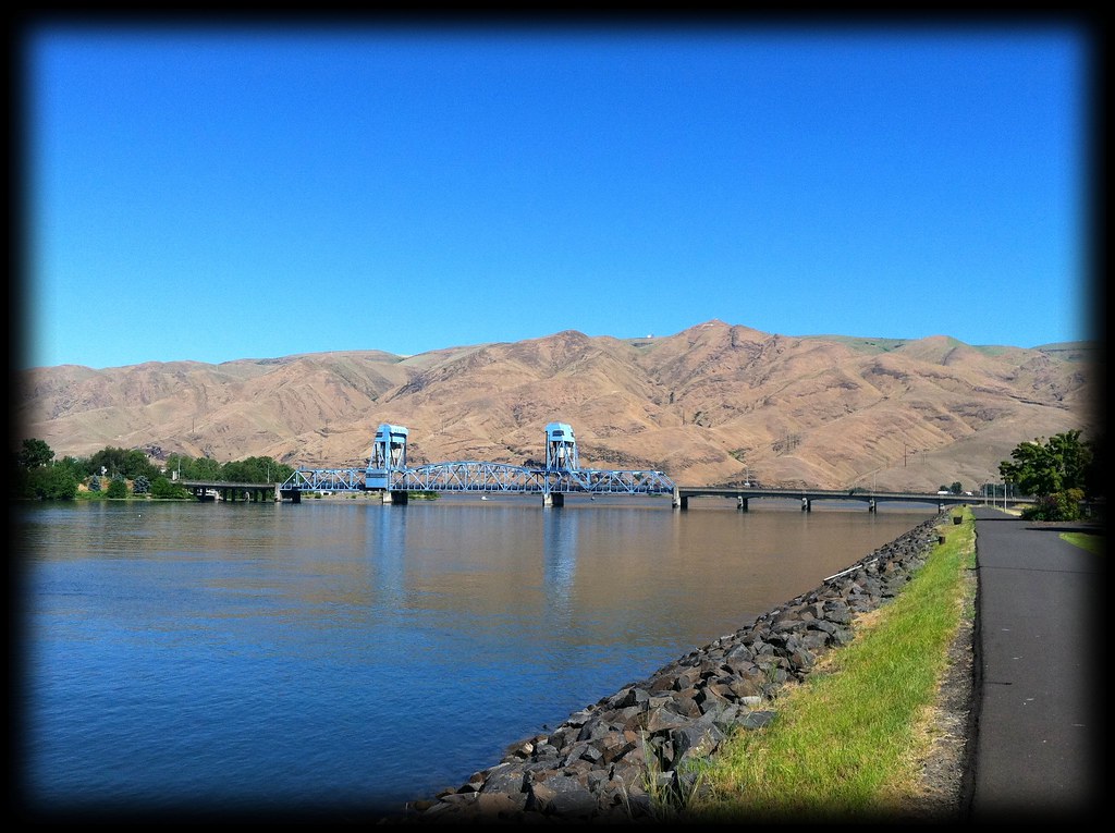
A week ago today I was pedaling out of Clarkston, Washington, along the Snake River, through rocky canyon walls and barren hillsides. I wasn't quite prepared for the desert-like environment through which I was about to pass.


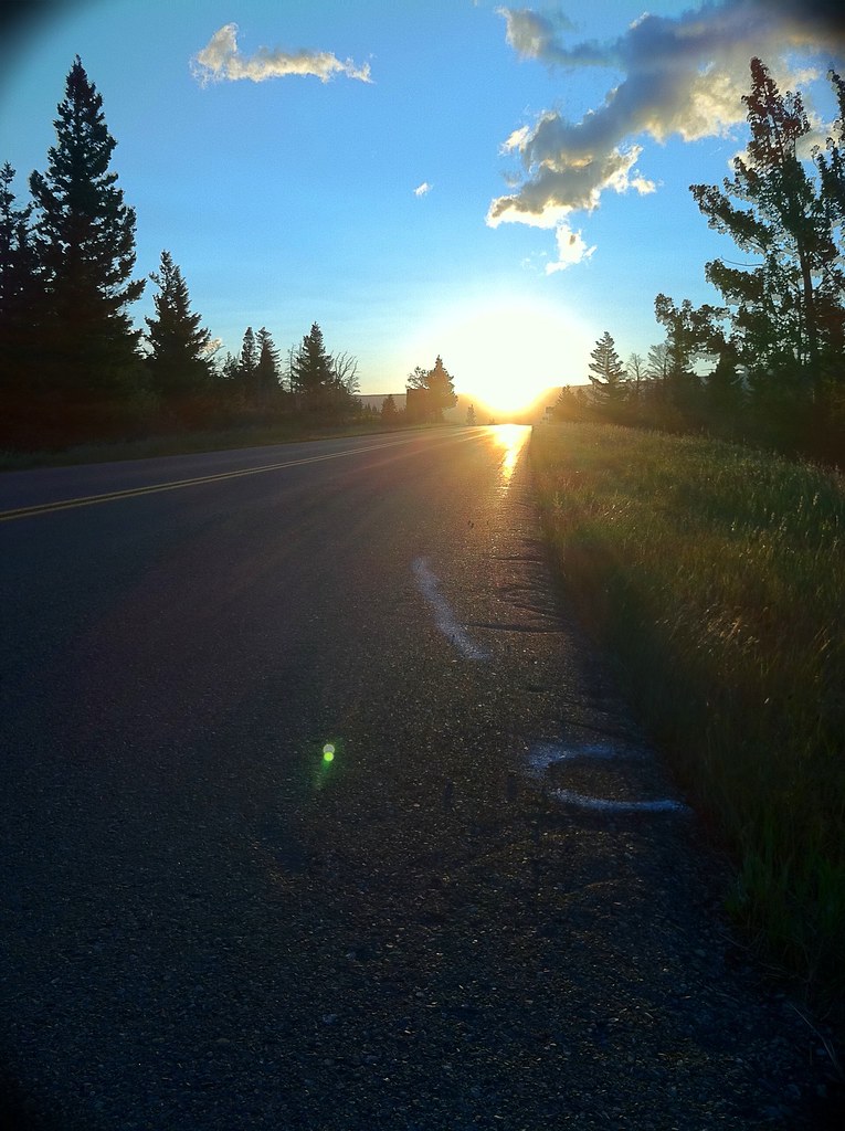
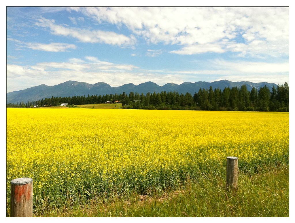
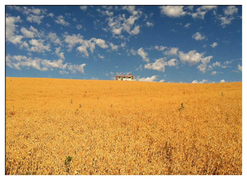
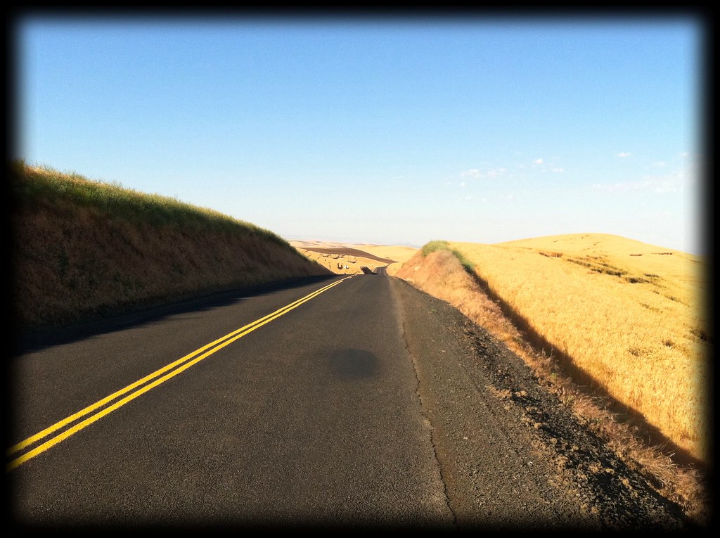
Soon the Snake was behind me and I was climbing out of its valley to the Alpowa Summit. My shirt was dripping with sweat when I reached the top. I stopped briefly at the rest area to eat a quick snack and drink a bottle of water. Within minutes my shirt was as dry as the air around me. Stretched out ahead of me were many miles of amber grains running into azure sky.


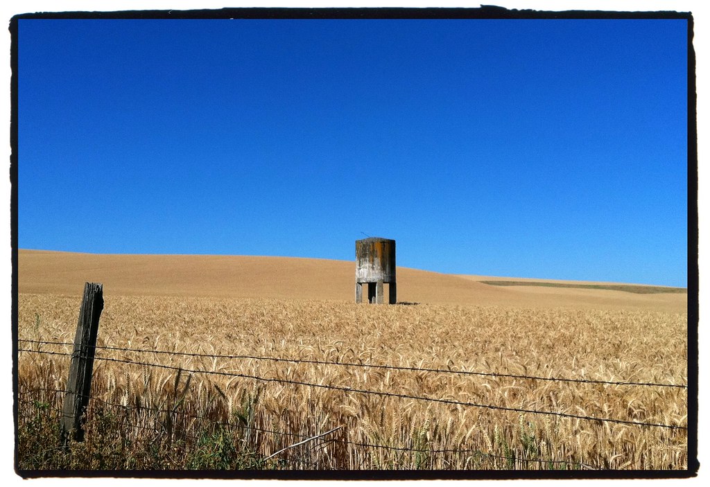
The grains began waving and my lips began chapping. The water in my bottles was evaporating faster than I could drink it. The temperature was approaching 90 degrees and the relative humidity had to have been down around twenty-five percent. I plowed up and over the rolling hills wondering if I'd ever see the color green again.

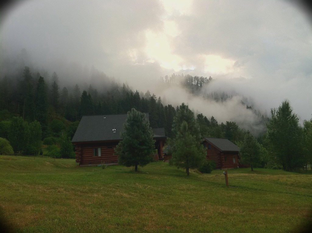
At long last I reached an oasis at the Lewis & Clark Trail State Park, a dense mini-jungle of plants and pines surviving on 37 acres of riparian land along the Touchet River. I set up camp in the shade and consumed a giant sports drink that I had purchased in Dayton, a few miles prior.

Later that afternoon an even thirstier looking cyclist rolled into the campground. Brian Keeley had covered the exact route as I, though he had done it later in the day when it was even hotter. We spent that evening talking about our tours. I discovered that he grew up in Rockford, Michigan, only about 100 miles from my hometown. We were both headed for Portland and then the Oregon coast, so we decided to ride together. It turned out to be the smartest decision we could have made.


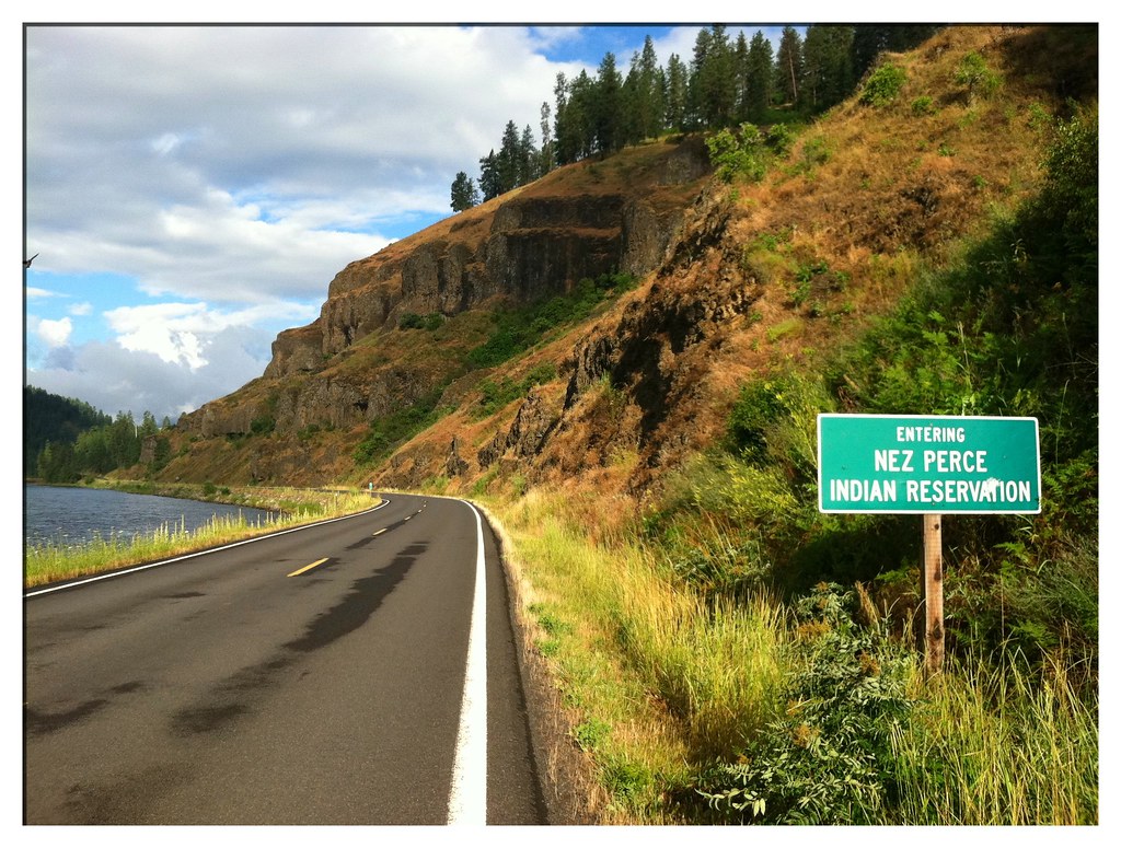
Moving west out of Walla Walla the next day, we met our nemesis. Though it was still thirty miles away, the Columbia River's headwinds were already coming to attack us on that arid land.

We quickly formed a working plan whereby one of us would lead while the other drafted (and rested) in the leader's wake. Every two miles we switched places. It was the best we could hope to do.

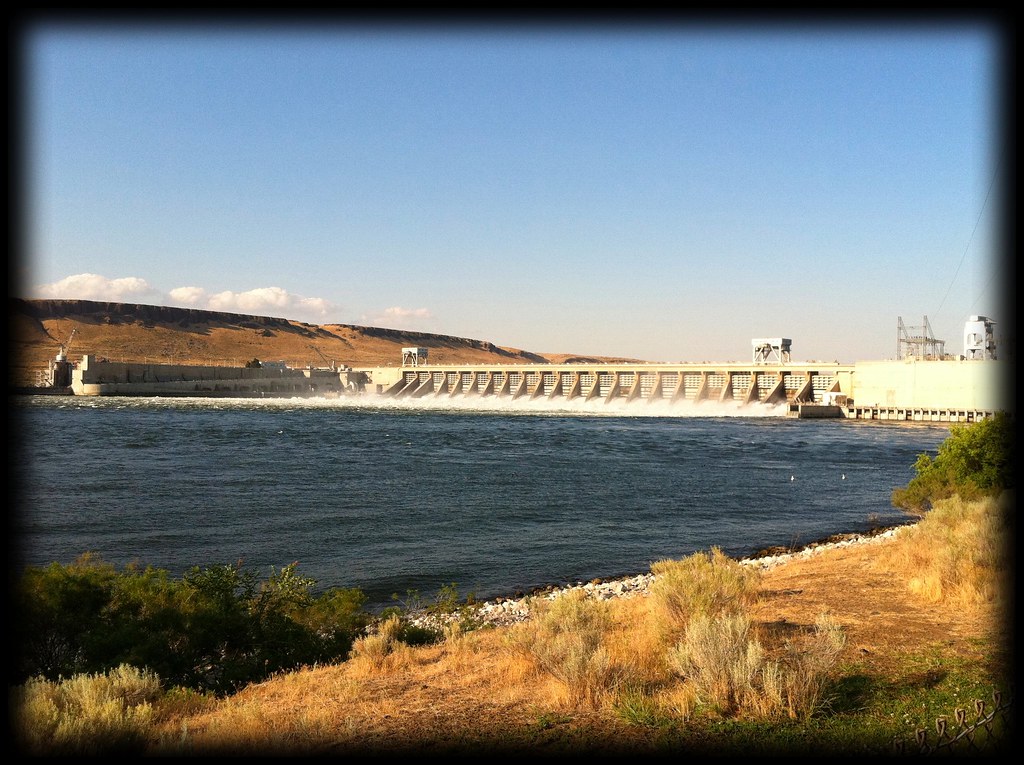
Our accomplishments came slowly. First we celebrated reaching the river, then the Oregon state line and eventually the McNary Dam near Umatilla.


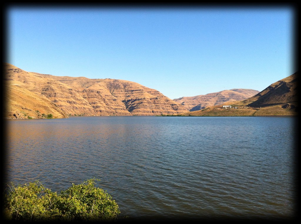
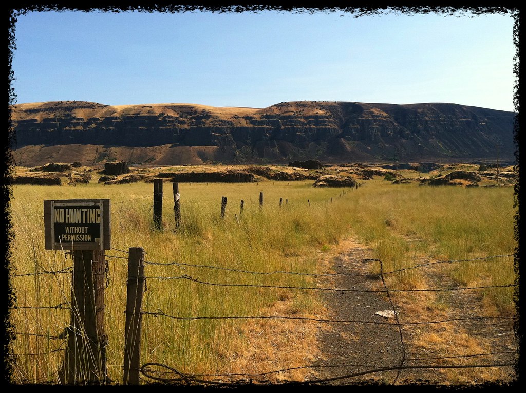
The winds, angered by our achievements, doubled forces the next day. Our route followed the Washington side of the Columbia and remained a barren semi-desert.


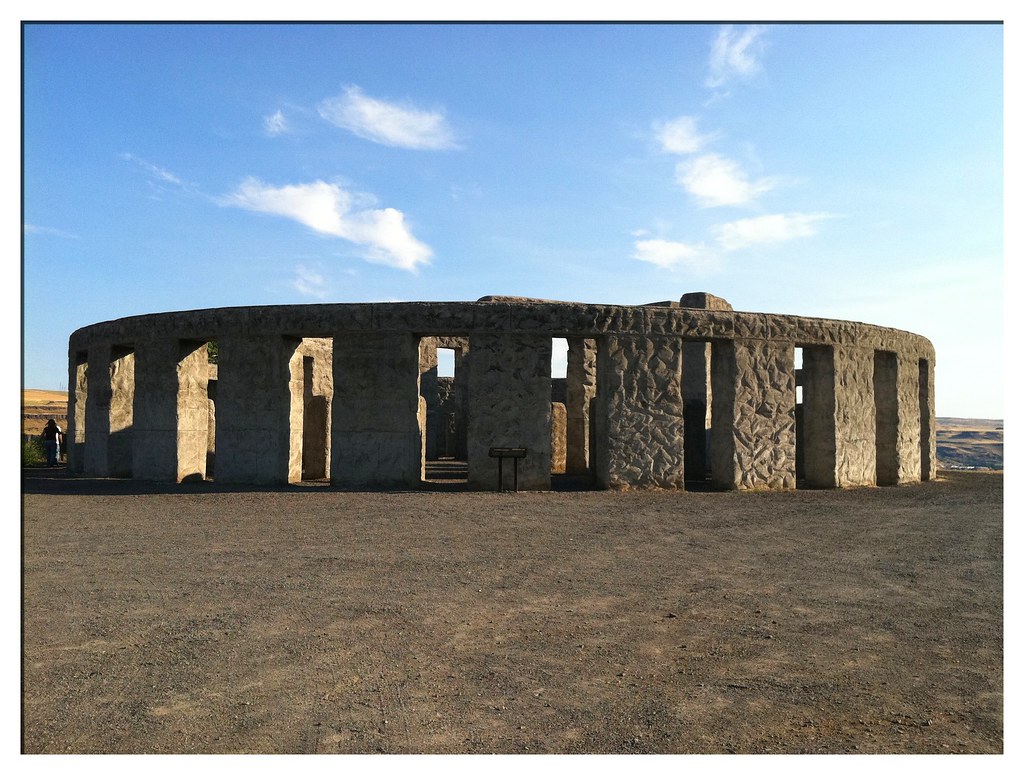
It was hard work, but 8 hours of riding time got us the 80 miles we wanted and we both agreed that it would have been impossible to battle the winds alone for so long. Just before reaching our campground we were treated to a tremendous roadside attraction: an accurately-sized cement replica of Stone Henge built by Samuel Hill as a monument to World War I veterans.


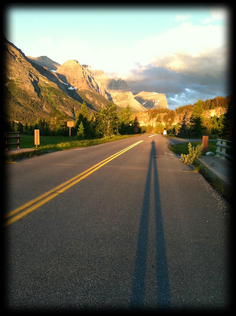
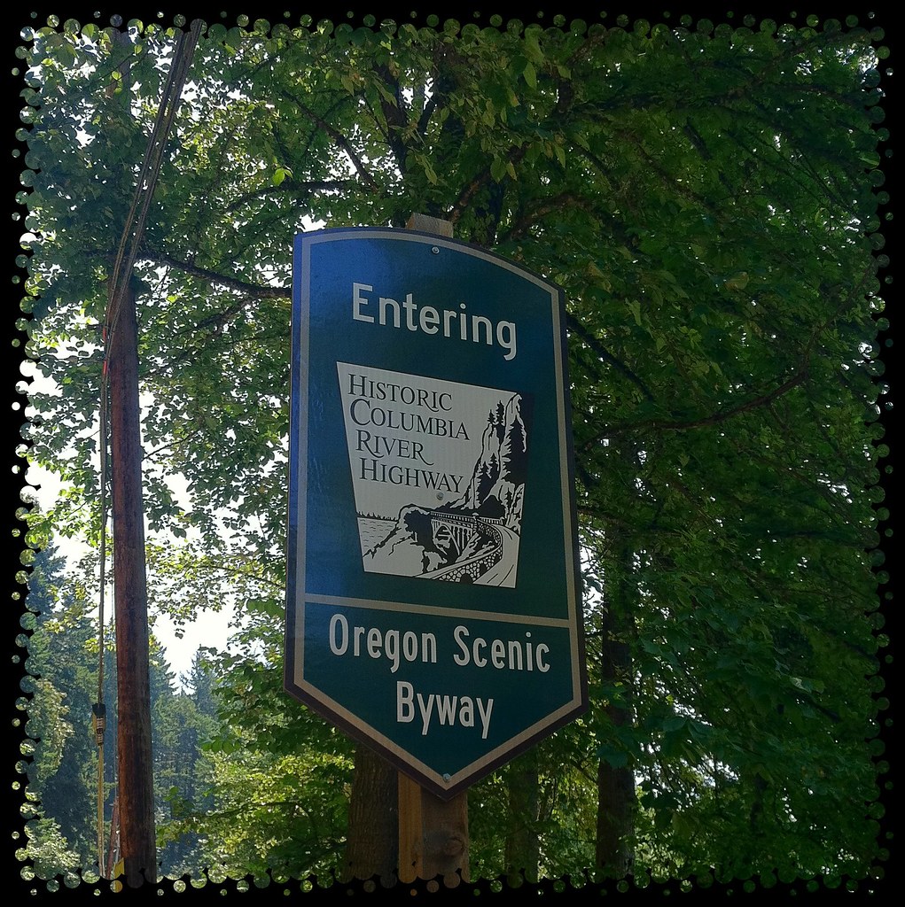
Though the winds still blew, on Wednesday we crossed back into Oregon, rode through The Dalles and onto the Historic Columbia River Highway.


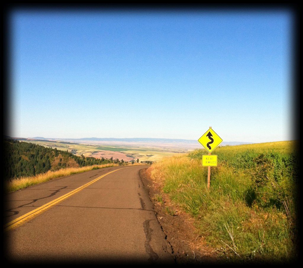
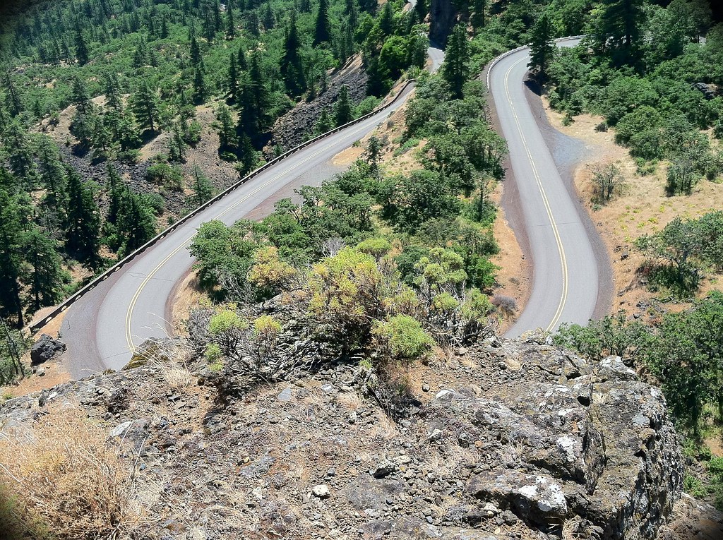
Trees and rocky cliffs began to block some of the gusts and the views became more scenic. The restored highway is a treasure for bicycle riders, even with steep climbs such as the Rowena Loops.


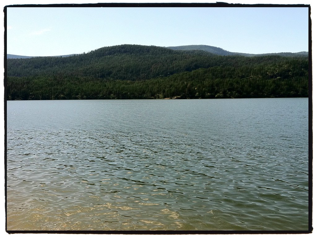
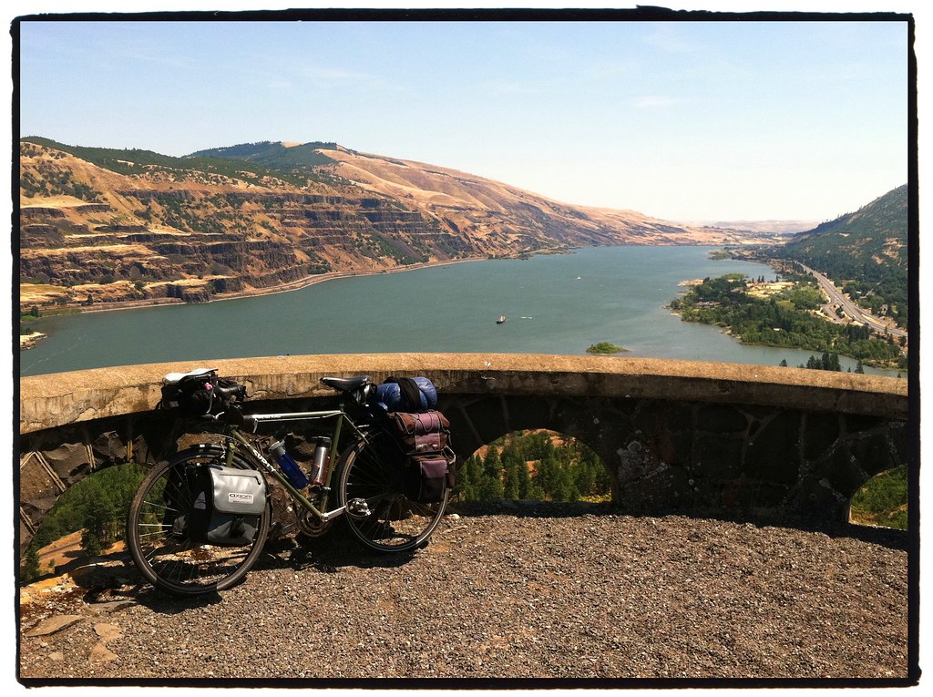
The view from Rowena Crest was an amazing panoramic over the Columbia's millions of gallons.


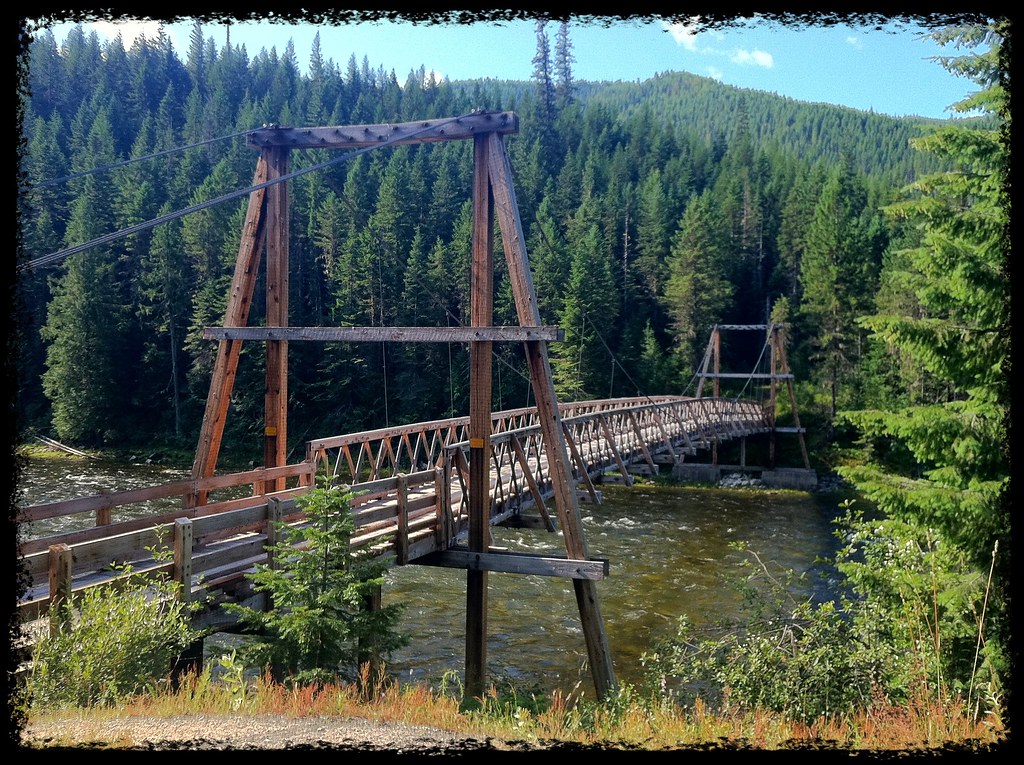
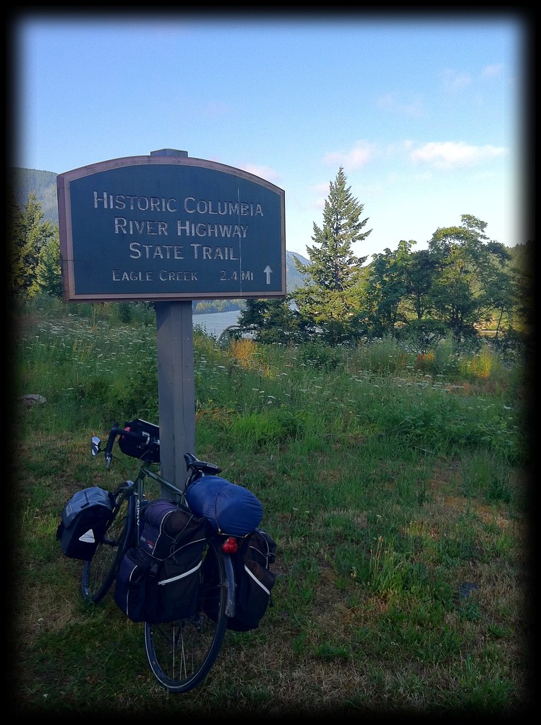
Parts of the Historic Highway have been converted to State Trails which are restricted to non-motor vehicle use.


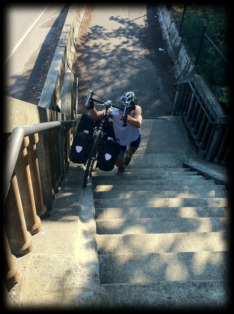
As we began entering into the true Columbia River Gorge which cuts through the Cascade Mountain Range, we found the trail was full of fun obstacles. A two story flight of stairs equipped with a wheel groove required some heavy pushing.


There were also a few tunnels that had been revitalized.


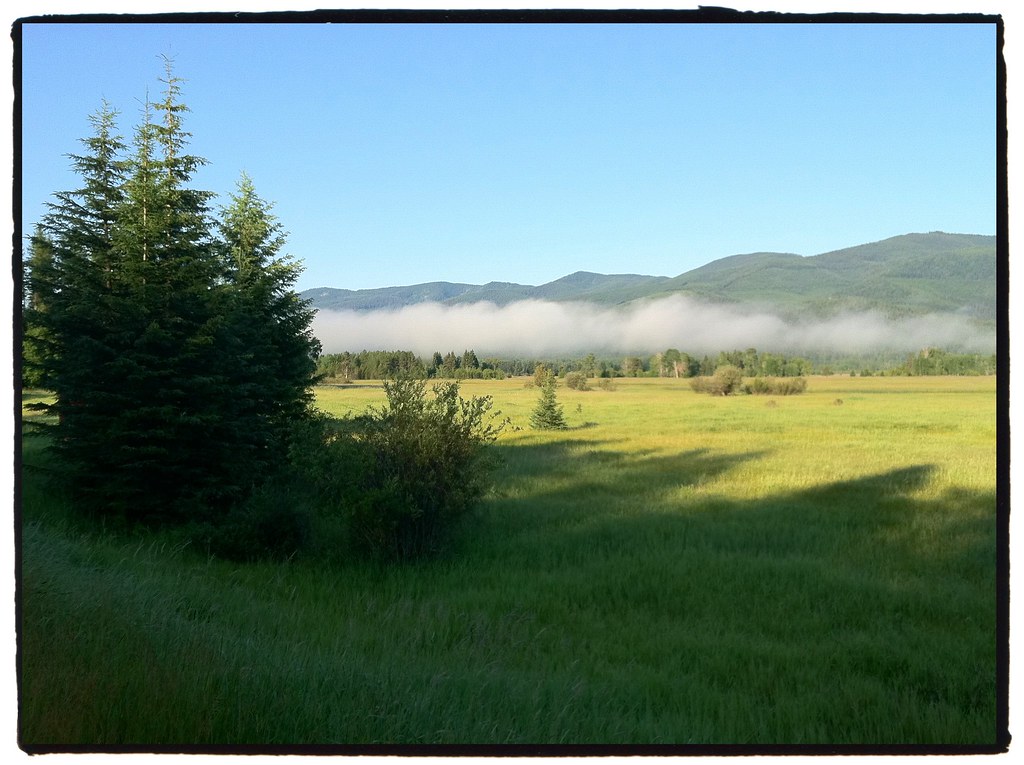
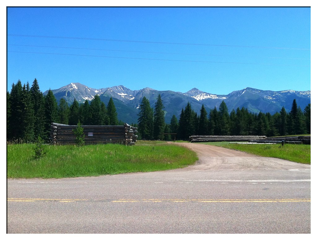
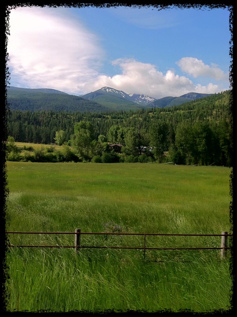
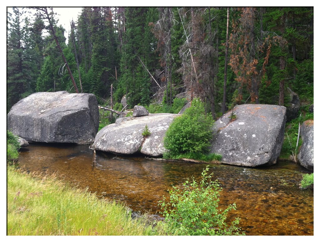
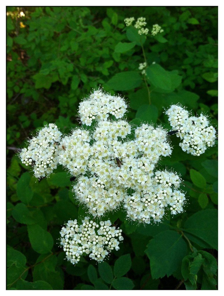
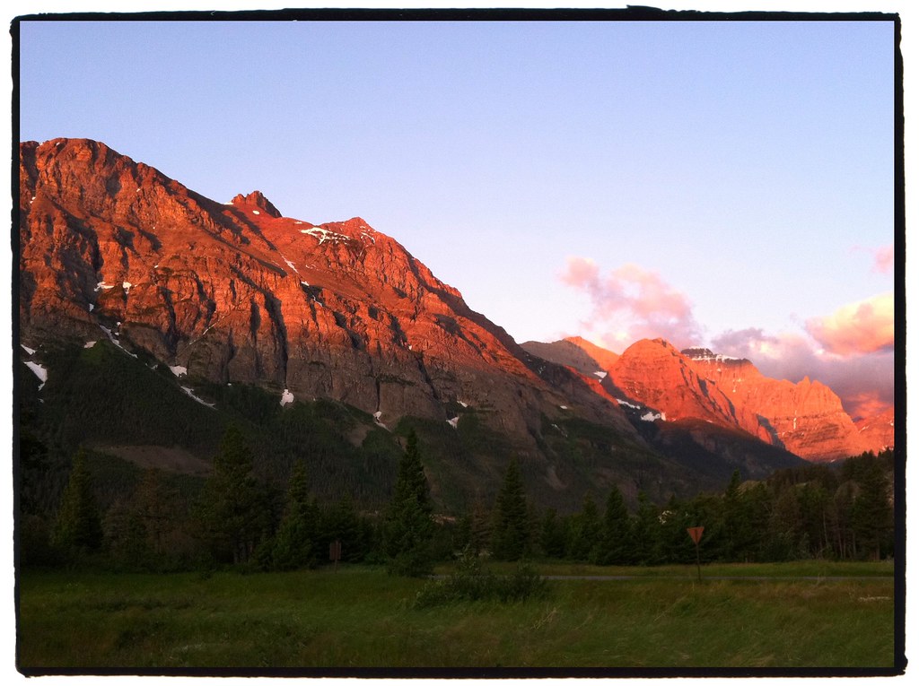
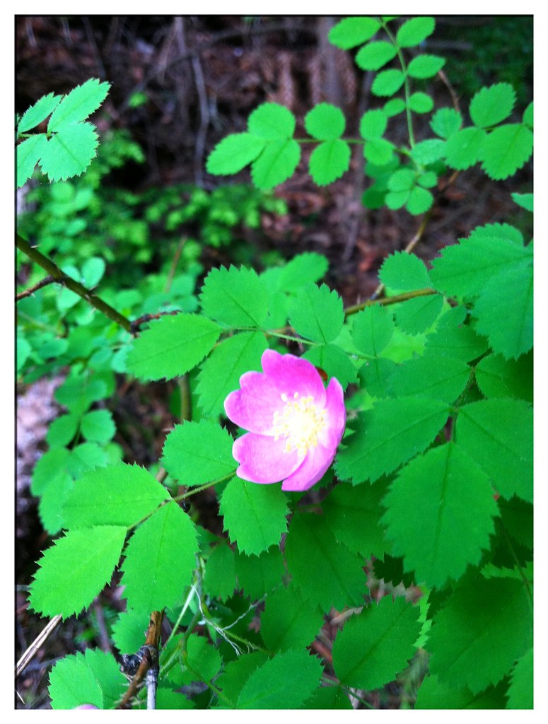
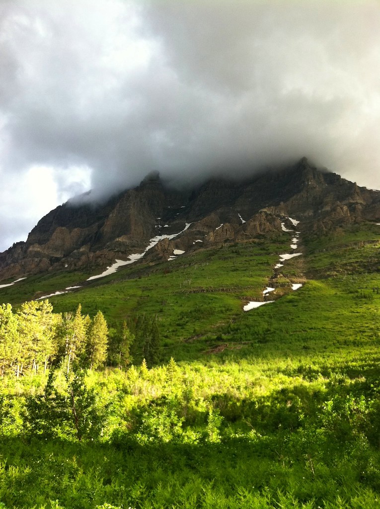
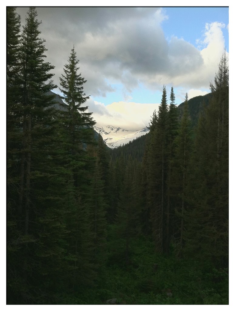
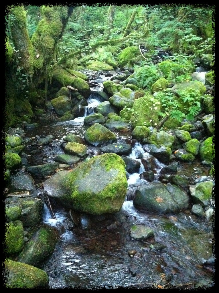
Among the Cascades our eyes once again saw a land filled with green and trickling with numerous icy creeks.


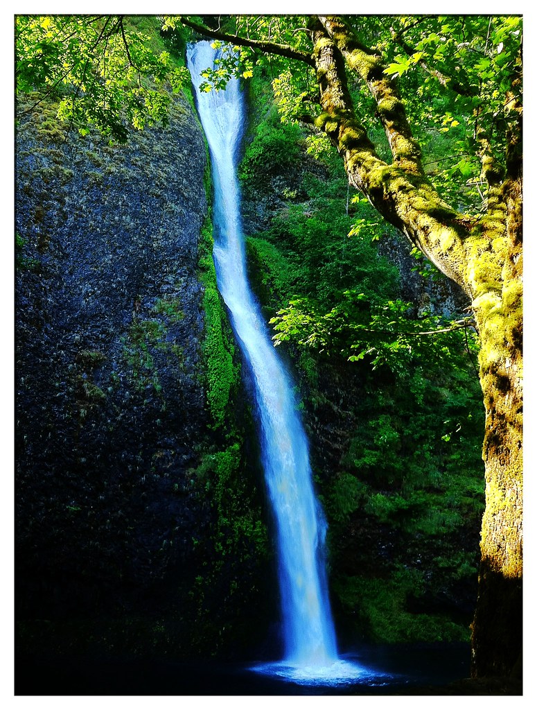
Many of these creeks formed beautiful waterfalls such as the Horsetail Falls.


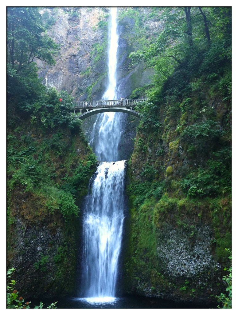
Multnomah Falls is the hot attraction, with a drop measuring 620 feet, over three times the height of Niagara Falls. I couldn't even get the entire length in one photograph.


From Multnomah it was only a short distance into Portland. Though I wasn't greeted with the tunnel of cheering spectators and the spray of champagne for which I was hoping, I couldn't have felt more accomplished and proud to ride down the streets of the city which had long been my destination.

Of course I won't say the trip is over until I ride out to the Oregon coast today and tomorrow and touch the chilly waters of the Pacific with my treads. However, for all intents and purposes, my mission is complete and I can scratch that one off my bucket list. Stay tuned for the epilogue...


- Posted using BlogPress from my iPhone

Location:N Williams Ave, Portland, OR, United States

Sunday, July 24, 2011

Week #12: The Moving Mountains

Total distance pedaled so far = 3872 mi

"I'm moving slowly by vehicular standards, but quickly enough to entertain the illusion that it is the mountains that are moving. Mountains sink into the horizon, and mountains duck behind other mountains. What looked like a lone pyramid is actually a spine of rock twenty miles long, humped up in the center like a hissing cat."

-- Jim Malusa, Into Thick Air


The fog hung low over the Swan River Valley last Sunday morning while the northern reaches of the Mission Mountains stood still behind the haze. I rose early after an overnight rain shower, packed up my damp tent and started down chilly Highway 83 while the RV-er's dozed in their compartments.


The Swan Range towered in my peripheral vision to the east. I startled some white-tailed deer grazing near the road's edge and awakened a trio of buzzards sleeping in a tall, dead tree. Most of the land in the valley is National Forest, State Forest and Wildlife Refuge. Occasionally there are sections of private land, mostly occupied by rustic log structures.


After a night in a Seeley Lake campground and a treacherous Monday morning commute through the ground-breaking of a construction zone, I found my way into the bicycle-friendly city of Missoula, Montana.


During my two night stay, I found time to visit the Adventure Cycling Association's Headquarters, obtain some necessary bicycle repairs and socialize with the other guests of the hostel. Ruth, a Detroit native, had been cycling for two weeks through Montana's beautiful mountains and was spending her trip's final nights in Missoula before flying home to San Francisco.

On Wednesday I departed civilization again and ventured into the Bitterroot Mountains by way of US-12, a route once taken by the famous explorers Lewis and Clark.


On the gradual climb up to Lolo Pass, the traffic was light enough to allow minutes to pass between vehicles. In those moments a cyclist can't help but feel very small and alone among the forested mountainsides and icy, rushing streams.


The feeling of isolation intensifies when one crosses into Idaho and reads the notes on the ACA map:

"If you were willing and able to walk a beeline straight south, you wouldn't come to a road for some 50 miles, that being the Magruder Corridor, a rugged dirt road. Continuing south from there, the first paved road you'd hit, Idaho 75 at a point east of Stanley, wouldn't be reached until you had walked another hundred miles-plus!"


I doubt these colorful bees are making any beelines toward Highway 75.


Lolo Creek kept me company on the ascent toward the pass, ever flowing beside the winding road, springing from melting snows hidden high above my head.


I rode slowly up and around a bend that looked like dozens I'd already passed, yet at the end of this one were three points of interest: Lolo Pass at 5235 feet above the sea, the Idaho State Line and the entrance into the Pacific Time Zone.


The next 100 miles descended a course which first followed the Lochsa River and then the Clearwater, after it absorbed the former. Pack bridges were the only structures to cross the water and the only signs of human construction besides the snaking highway.


Of course there were scads of wildflowers decorating the forest floors and I had plenty of time at camp to stop, smell and photograph them.


I also enjoyed one of the regional beverages: Snap-E Tom, a spicy tomato juice.


During my stay at the River Dance Lodge in Syringa, I was disappointed to find the employees didn't flail their legs under their stationary torsos as they went about their business. However, I was impressed by a friendly greeting from cyclist's-worst-enemy. "Peace Dog," as I dubbed him, because of his peace symbol tag and amicable nature, was the first mutt I met that neither snarled at me nor marked his territory on my panniers.


The next morning, after another drizzly night, I awoke to more smoke-like fog obscuring the tops of the trees.


Friday turned out to be a difficult ride. I entered the Nez Perce Indian Reservation and rose about 3000 feet in elevation. Once I reached the top of the moderately steep climb, I was treated to a roller-coaster ride of ups and downs across a plateau of plains and crop fields until I reached Winchester Lake State Park. That night I was serenaded by the howling of a pack of wolves from the nearby sanctuary.


The reward for all of my climbing came yesterday morning when I soared down the treeless mountainside road toward Lewiston. The pavement draped along the contours of the hill like a ribbon creating, possibly, the best descent of my trip. Not one car marred my way, though I did have to brake twice for mule deer which promptly hopped out of sight.


The steeper hills gave way to vast fields of wheat on the outskirts of Lewiston.


The final miles of my Idaho experience were on a nice, paved bike path along the shore of the Snake River. On the other side of the blue bridge: Clarkston, Washington.


Also on the opposite bank, as fate would have it, was a cyclist named Art, heading east toward Wisconsin. He informed me that the campground where I was planning to stay was full. So for the second time on this trip, I split a motel room with a stranger. A stranger with whom the common interest of bicycle touring has quickly brought me to know.


Today I push on into Washington toward the Columbia River and my final destination in Oregon. Next week's blog may very well be the conclusion...


- Posted using BlogPress from my iPhone

Location:Bridge Street, Clarkston, WA, United States

Sunday, July 17, 2011

Week #11: Two Montanas

Total distance pedaled so far = 3504 mi

In the past week the landscapes I've traversed have transitioned from plains to foothills to mountains, giving the impression of entering a new state. Last Sunday in Glasgow, Montana, I was at approximately 2100 feet above sea level. On Friday I crossed the Continental Divide at Logan Pass in Glacier National Park sporting an elevation of 6646 feet.

Now that the land has given more opportunities for variations in my photography, I will utilize pictures in place of so many words.


Speaking of pictures instead of words, these are carvings in the ancient Sleeping Buffalo Rock.


In the distance lie the Sweet Grass Hills, only a tease before the upcoming Rockies.


The Burlington Northern and Santa Fe Railway was always active on the Hi-Line along US-2. I would often see a half-dozen long trains or more each day.


This sign is evidence of Montana's unfortunate drug problem.


A thunderstorm approached at sunset in Galata. The winds howled in the sky above my tent and the lightning struck all around.


"There are few things better than waking to a sky streaked with a whiz of cirrus, getting on the bike, and aiming for a small notch in a big mountain."

-- Jim Malusa, Into Thick Air


Leaving Cut Bank through stiff headwinds, the mountains rose out of the horizon.


After 70 miles of wind and foothill climbing, I made it to the entrance of the park.


As a reward I drank a park-themed beer.


The next morning I woke at dawn. The winds had doubled in strength, gusting over 50 mph.


Rising Sun campground lived up to its name.


Those aren't skid marks on the Going-to-the-Sun Road, that's my shadow.


Winds be damned, it was time to start going for the sun! (Even though I was heading west and this shot is looking east, it's the symbolism that matters :)


There were plenty of opportunities to stop and smell the flowers when I got tired.


A type of trillium?


I think this one's called bear flower.


The mountains cleaved the passing clouds with ease.


Avalanches left paths of destruction on the mountain sides.


Between the trees is a glimpse of Jackson Glacier.


Close to the pass the snow was still freshly plowed. The pass had only been open for two days at this point.


After 3-1/2 hours of climbing against the wind, I came to Logan Pass.


Proof!


The ranger is raising the flag at the visitor center, which will barely fly above the snow.


An amazing 12 mile descent brought me down to Lake McDonald where I camped that night.


Hikers and bikers get a great advantage in the campgrounds. These large, shared sites are saved for them and they are $15 cheaper than regular sites.


Though I only saw one black-tailed deer and a couple bighorn sheep, bears and mountain lions were around. These food lockers brought a little peace of mind.


Yesterday I left the park and followed the Flathead River south.


The mountains continued to decorate the horizon while I passed through fields of mustard, wheat, peas and dill.


Luckily I saw no roadkill on this stretch of road.


Last night I camped near Swan Lake.


Today I will continue to head south to Missoula. From there I will head west again and soon pass through Idaho and Washington on my way into Oregon. The end is drawing near, but there are still some exciting things to see and some challenging roads to ride. Thanks for sticking with me.


- Posted using BlogPress from my iPhone

Location:Condon, MT, United States